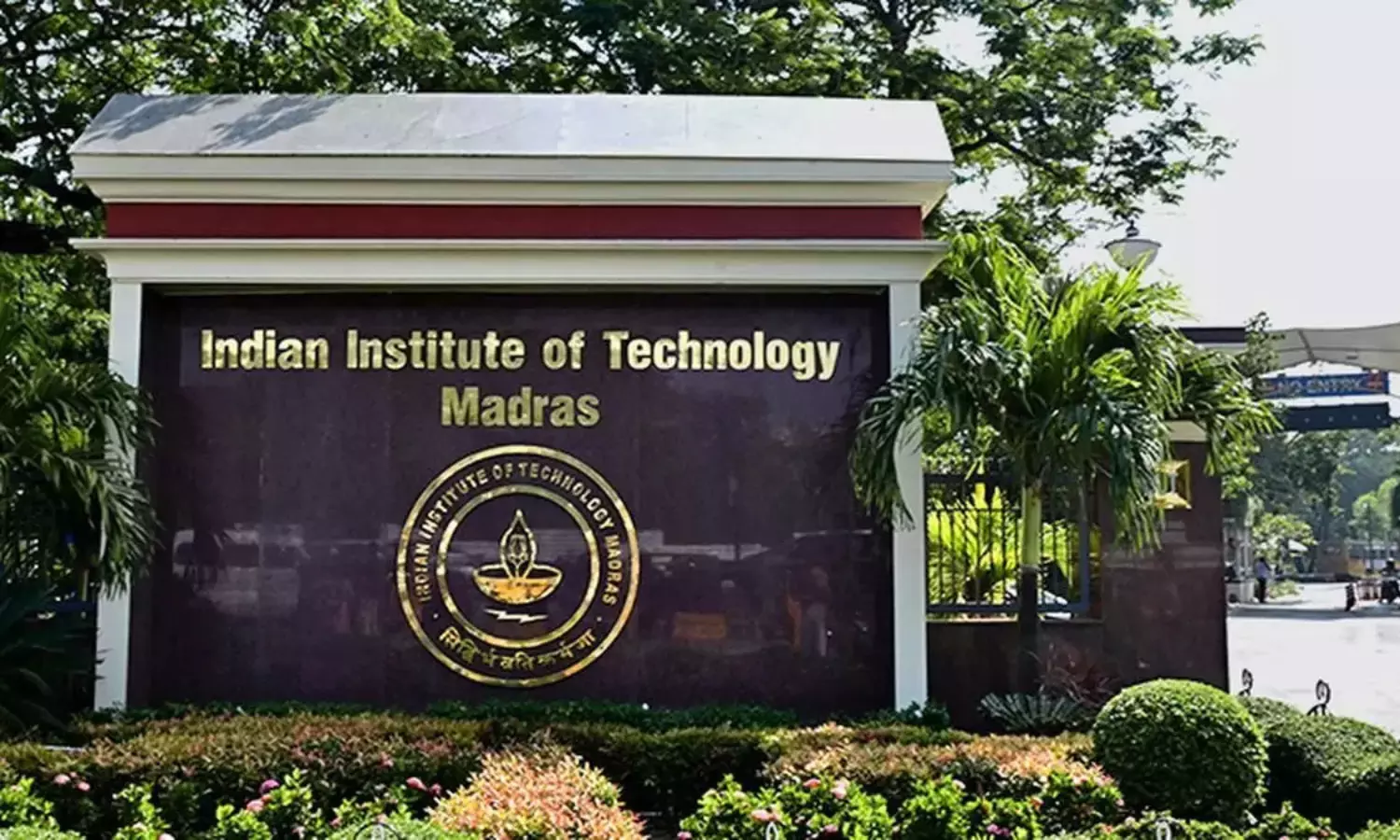
Chennai: The researchers at the IIT-Madras have developed Coastal Vulnerability Index (CVI) maps for Chennai and Karaikal, factoring in the impacts of sea-level rise and storm surges to identify the coastal areas vulnerable to climate-related hazards.The maps are part of a broader climate-risk assessment undertaken by the IIT-M centre of excellence on climate change impacts on coastal infrastructure and adaptation strategies, supported by the department of science and technology.The centre also carried out flood inundation modelling and mapping for Ennore in Chennai to aid disaster preparedness and urban planning by developing a range of models to assess the impact of cyclones, storm surges, extreme rainfall, shoreline erosion and sea-level rise on coastal areas.Researchers have developed advanced climate, cyclone, storm-surge, wave, hydrodynamic and morphodynamic models tailored to Indian coastal conditions.
A novel wind-merging technique developed by the team is aimed at improving storm-surge predictions.The research has also examined the vulnerability of coastal infrastructure.
Structural health monitoring approaches have been developed to track climate-driven deterioration of port infrastructure and climate-resilient reservoir management strategies have been proposed for flood-prone urban areas.The centre has assessed measures to prevent and mitigate saltwater intrusion in coastal regions and developed climate-resilient wastewater treatment solutions, including a patented in-stream wastewater treatment method.A community-based adaptation framework, BASIEC, has also been developed to support communities in responding to sea-level rise and other coastal hazards.“The city’s coastline hosts some of the country’s most critical infrastructure....